Neighbourhood climate action
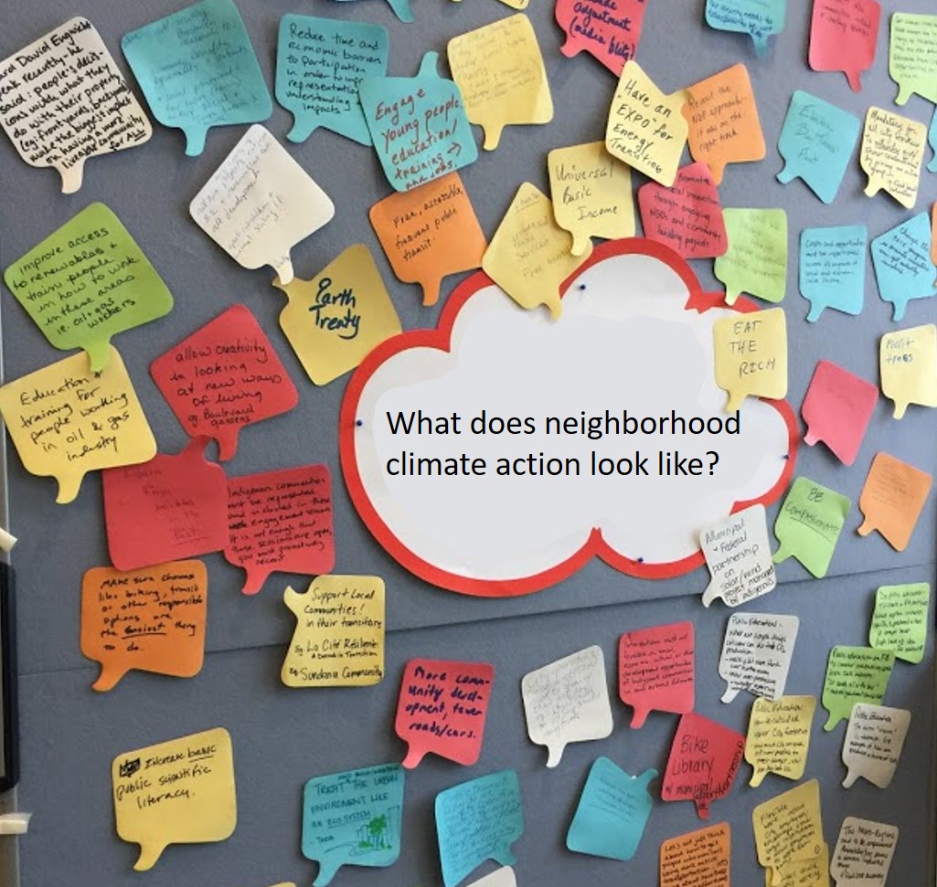
What does a neighbourhood climate action strategy look like? Our proposed action-research project aims to work extensively with three pioneer community leagues and the Green Leagues program to co-create neighbourhood climate action strategies in line with the goals set by the City of Edmonton. This will be done by adopting the principles of low-carbon localism and neighbourhood planning for low-carbon communities (Brownill & Bradley, 2017). We will engage with the community members through a series of meetings, workshops, focus group discussions and online engagement sessions. The project will follow a three-step approach of vision setting, strategy formulation and evidencing. The research will produce two key deliverables: a climate action strategy for participating leagues and a general toolkit for leagues to formulate their own neighbourhood climate action strategies. Furthermore, the research will contribute to the nascent but emerging field of neighbourhood level action for climate change mitigation and adaptation.
Spatiotemporal variation of urban heat islands in Edmonton neighbourhoods
Among the large Canadian census metropolitan areas, the built-up area in Edmonton increased multiple folds from 1971 to 2011 (Wang, 2018; Agrawal, 2016). This may have resulted in changes in Urban Heat Islands (UHI) effect in the city, that refers warmer urban area compared to its rural surrounding, as a result of smaller natural land covers vs. built surfaces that absorb and store a large quantity of solar radiation. We will employ both quantitative and qualitative analyses to explore the changes across neighbourhoods in the City of Edmonton over the last two decades and will examine the factors that control UHI at the neighborhood level. In a quantitative analysis, we will generate UHI and land use maps using medium spatial resolution (15- 30 m) multi-spectral Landsat satellite imagery from 1999 to 2019 to explore patterns of surface temperature changing at the neighborhood level. We will use relevant City documents, field observations, and residents’ feedback to understand possible contributing factors such as land-use, population density, vegetation, and water bodies within different neighbourhoods in the city. The results of the study will help policy-makers to develop heat mitigation and adaptation strategies for existing neighbourhoods. Also, it will inform the planning and design of new neighbourhoods, so they elicit minimum UHI effects.
Both projects are funded by: CitiesIPCC Legacy Research Grant Program 2020